Surveying
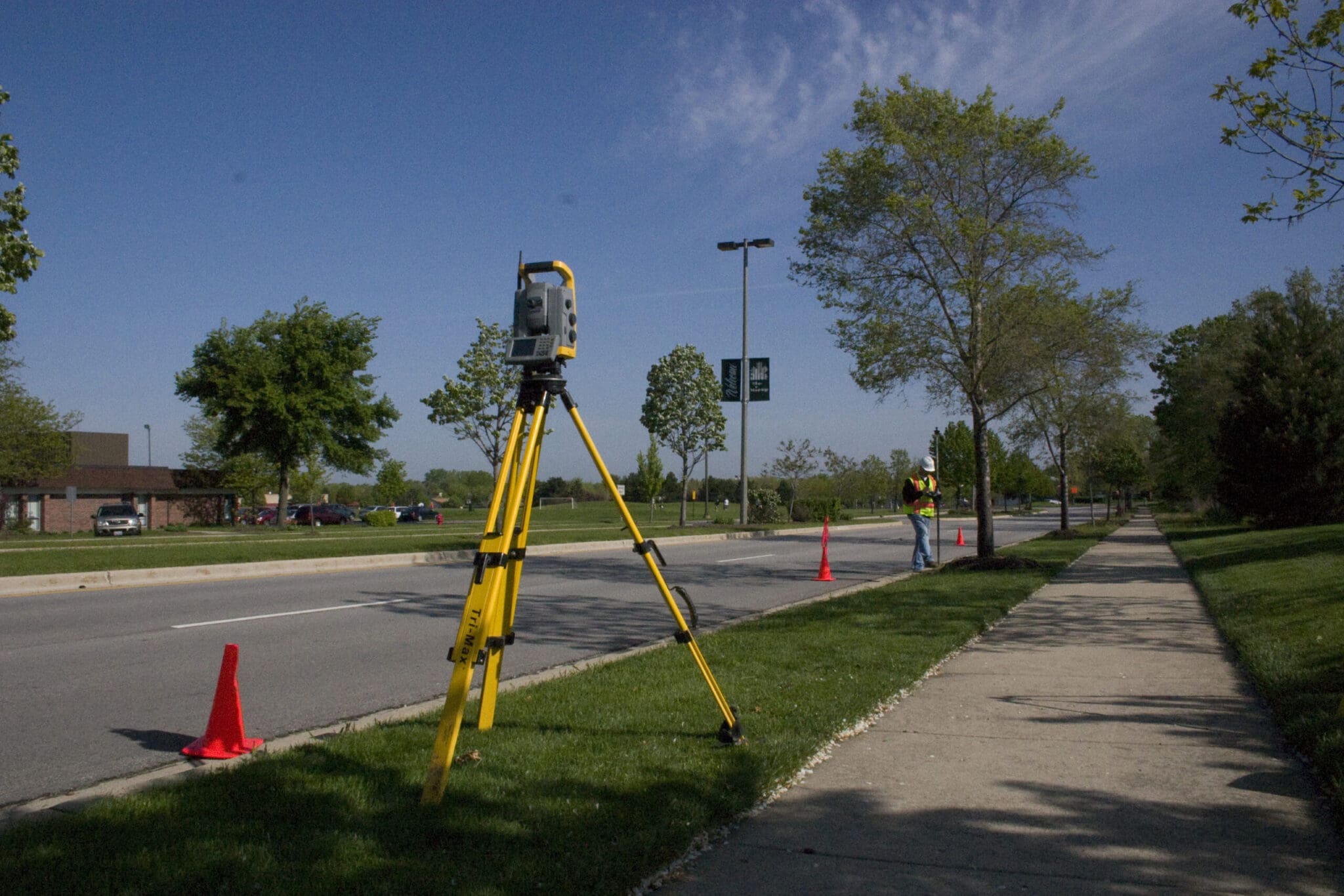
Each project hinges on starting with an accurate understanding of existing conditions. We employ state-of-the-art equipment and techniques, highly trained crews, and an acute understanding of boundary law and title issues to deliver precise results that form the backbone of any project’s development process.
What do you get when you combine uncanny commitment to accuracy, accountability, and responsiveness with experienced surveyors using state of the art equipment. Call us and find out.
Each project hinges on starting with an accurate understanding of existing conditions. Our surveying team is comprised of industry veterans with high standards when it comes to accuracy, accountability and responsiveness. V3 employs the latest and greatest in scanners, drones, and project data systems along with an acute understanding of boundary law and title issues to deliver precise results that form the backbone of any project’s development and construction.
Additional Information
Capabilities
- Topographic Mapping
- ALTA/NSPS or Boundary Surveys
- High Definition Scanning
- Hydrographic Mapping
- Route Location Surveys
- Plats of Highway
- Plats of Subdivision
- Construction Layout
- Data Preparation for GPS Machine Control
- Site Calibration for GPS Machine Control
- Post-Construction As-Built Surveys
- Public Utilities
- Condominium Plats
- Expert Witness
- Control Network/Densification
Featured Projects
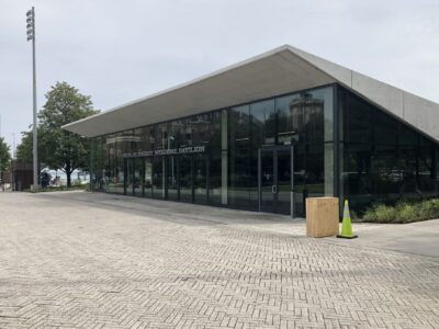
Navy Pier Gateway Park
“Early in my career I worked in land planning but became interested in the history, legal aspects, construction and technology that land and construction surveying offers. The wide variety of projects I work on from commercial retail, high-rise buildings, quarries, mines, reservoirs and public transportation each have unique challenges.”
Grant Van Bortel, CST I, Sr. Project Manager/Survey Technology & Field Mgr.
Meet Our Regional Leaders
Our service leaders are ready to hear your challenges, share their expertise, and introduce you to the V3 experience.

Chris D. Bartosz, PLS
Brian Rismiller, P.S.
Jay Miller, P.S.
Matt Kwiatkowski
Robert Cream