
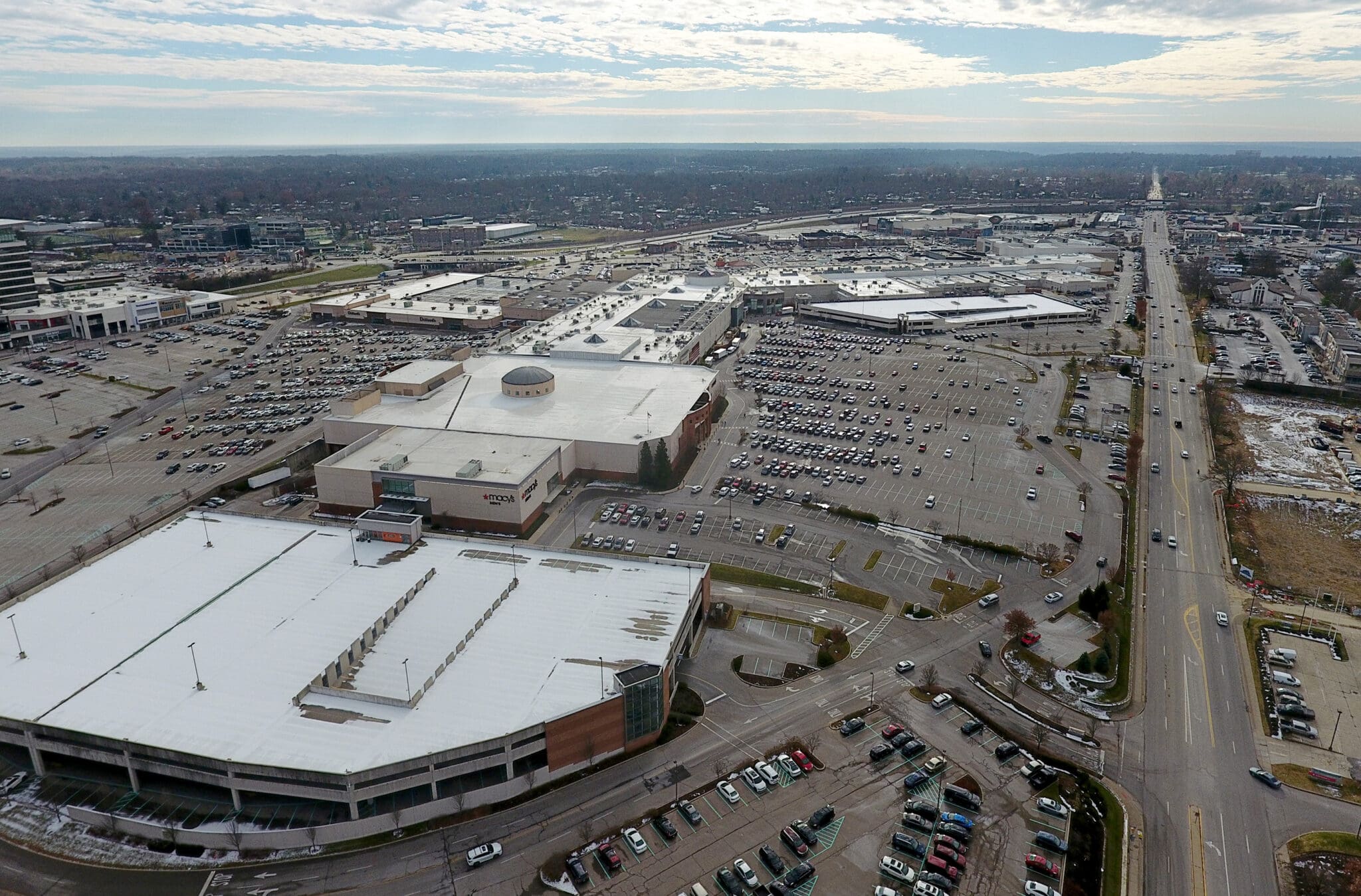
Kenwood Towne Centre Aerial Survey
To assist the client in planning future improvements to the 77-acre Kenwood Towne Centre property, we delivered a detailed photogrammetry mapping using advanced drone technology. Our approach provided the required level of accuracy while minimizing disruption to mall operations during the busy holiday season.
Key Contributions:
Photogrammetry Mapping
We employed a combination of drone photogrammetry methods to capture high-resolution data across the entire property, ensuring precision for planning and design.
Coordination & Scheduling
We worked closely with mall staff, providing regular updates and scheduling early-morning drone flights to avoid interference with daily activities.
Graphic Exhibits
We created a variety of exhibits illustrating building footprints, square footage, and other key site details to support informed decision-making.
Project Location
Cincinatti, Ohio
Client
Brookfield Properties Retail