FEATURED EMPLOYEE: Grant Van Bortel – “Ex” Motorcycle Racer, Construction Surveyor, AutoCAD survivor.
He’s battled with CAD for decades, went to pilot school, ridden off-road motorcycles for much of his life and is a dedicated father of two. Grant Van Bortel is not your average surveying professional.
After just a few minutes talking with Grant it’s easy to see that V3’s survey gear go to, is someone you want to have in your corner – and on your team.
“I’ve always been interested in technical gadgets and mechanical equipment,” said Grant. “Taking things apart helped me learn how they worked. I remember a mini bike that I had when I was about 9 or 11. I must have had it apart a hundred times on the floor of our garage. My parents would worry, but I always got it put back together and working.”
“My love for motorcycles and racing dates back to the mid-70’s growing up in rural Chicago suburbia,” said Grant. “There was this old timer in the neighborhood that was always making go-carts and mini bikes for the kids out of junked lawn mowers and other things. I was hooked.”
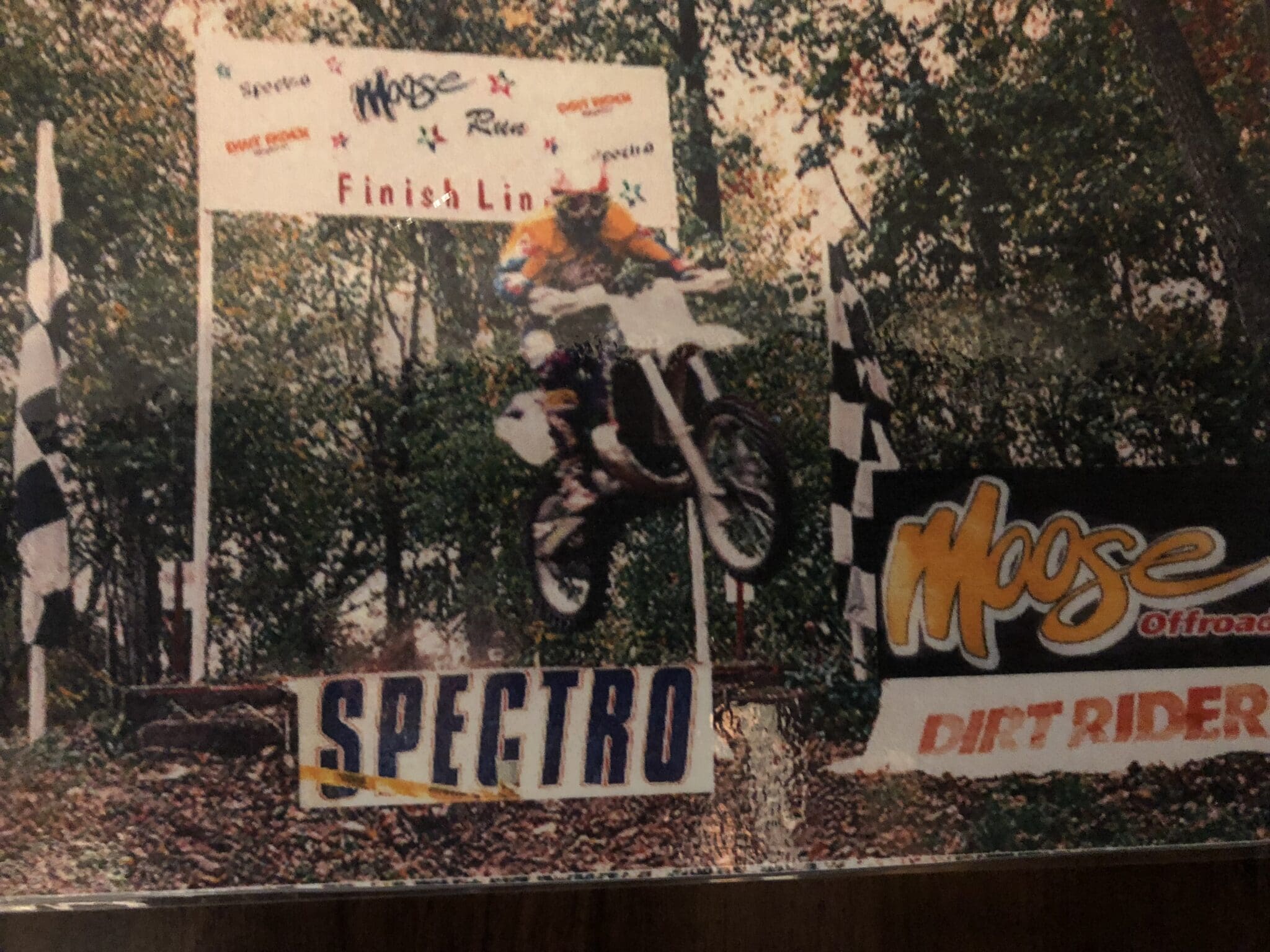
Grant raced from his teens to near 40 and has a handful of trophies in his basement to show for it.
“I still occasionally sign up for cross-country, or hare scramble races that are endurance-style and cover 100+ miles. The terrain is challenging. We travel off-road through tight woods, old barns, over wire fences, across streams, and through large culverts.”
Grant began college at the University of Wisconsin in Madison and later transferred to University of Illinois’ School of Aviation and trained as a pilot, airframe and power plant mechanic.
After logging hours in the air he became fascinated by the landscapes below and majored in Urban Planning/Landscape Architecture where he learned AutoCAD. Since graduating from the “U of I” he has enjoyed several decades “grounded” drafting and surveying which provided the best of worlds, being outdoors and working with technology.
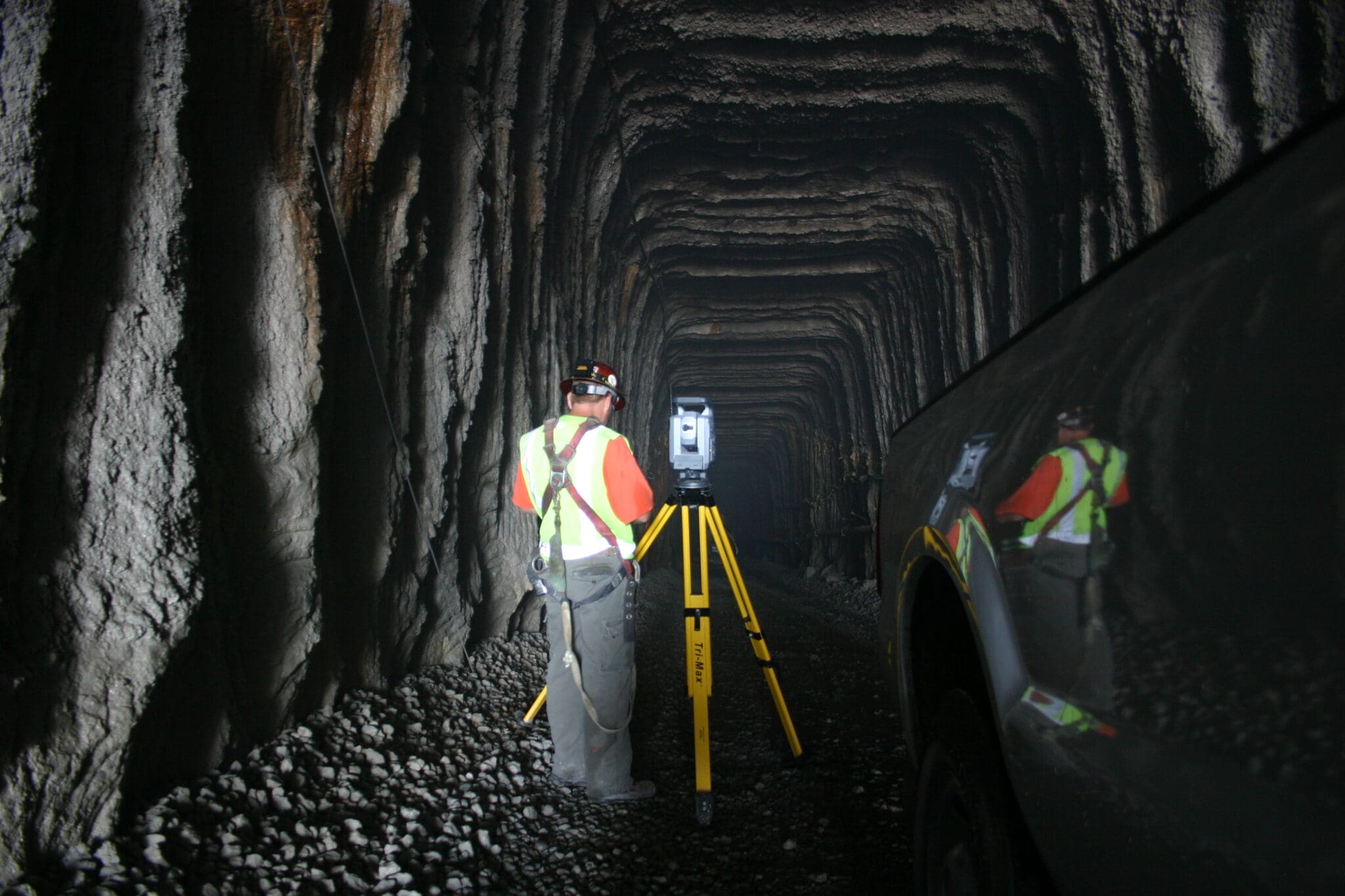
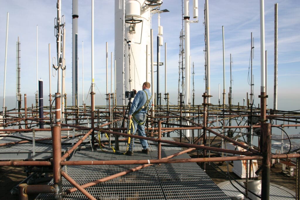
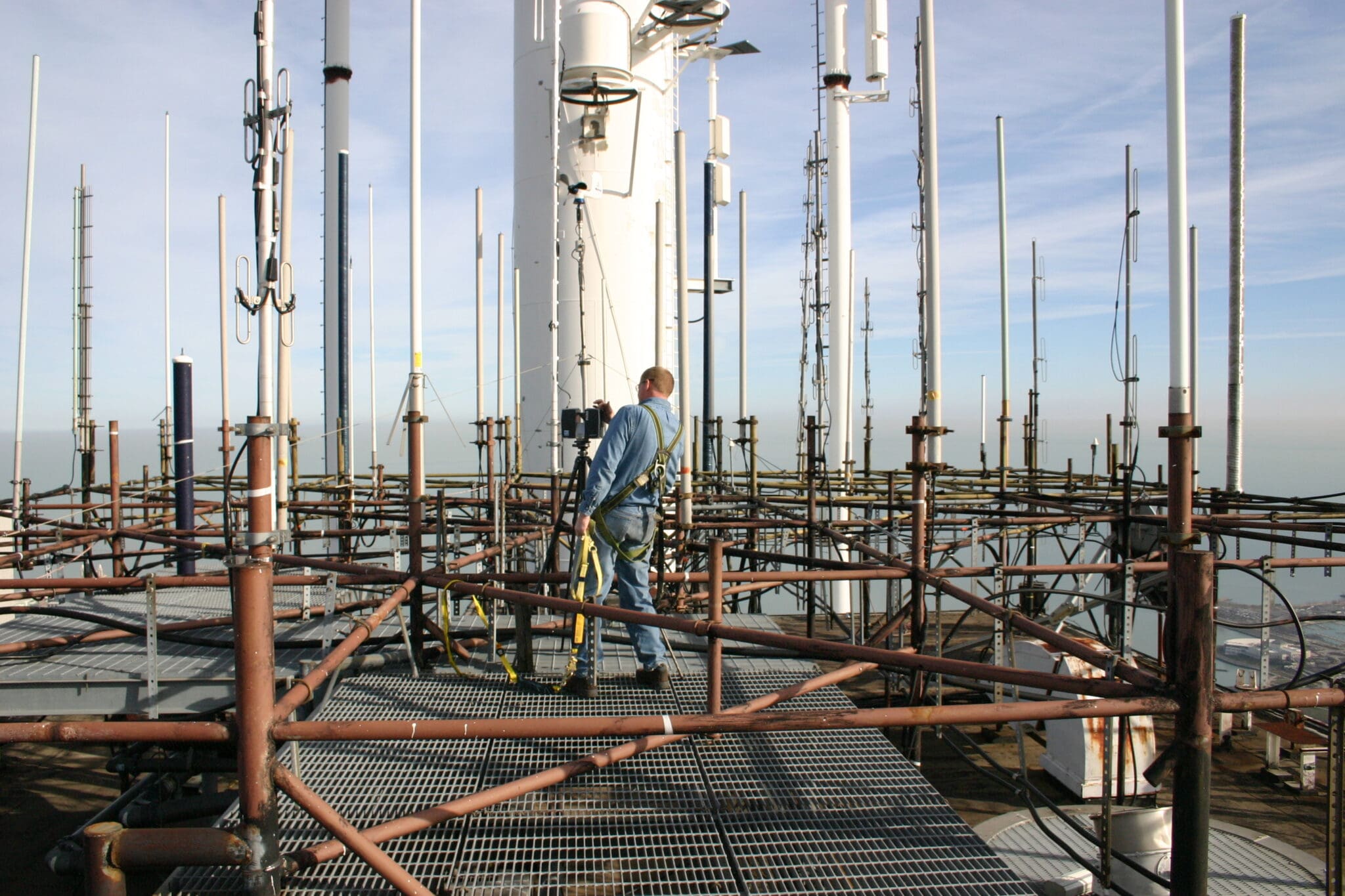
His aviation days aren’t totally behind him … Grant recently found a new way to take to the skies. He is seeking his pilot’s license for flying aerial drones for the surveying department. “It’s quickly becoming an important tool in our arsenal, but we still use everything from plumb bobs, string lines and tape measures.“ The drone technology compliments other higher tech gear such as digital levels, robotic total stations, GPS, laser scanners, and ground penetrating radar. We implement the use of several different tools to assist in our efforts of completing accurate measurements.