Hebron Hydrologic & Hydraulic Floodplain
The Village of Hebron partnered with our team to address heavy flood events frequently affecting their community. Their effective FEMA model was nearly 20 years old and contained outdated structure and hydrologic information. In order to define base flood elevations more accurately, we completed a comprehensive hydrologic and hydraulic analysis of four miles of major stream network. Our detailed analysis led to obtaining a FEMA letter of map revision (LOMR). We also provided strategic construction suggestions around the community, including diversion channels, ditch widening, additional flood culverts, and an automated canal and lock system to create detention and divert flood flows prior to and during heavy rainfall events.
Owner
Village of Hebron
Market Sector
Local GovernmentPrimary Service Lines
Municipal Consulting, Resilient Water SolutionsRegion
ColumbusAdditonal Info
Project Highlights:
- Services included obtaining information from various hydraulic models and flood studies in the area and merging that information into one composite hydrologic and hydraulic flood study. The USACE HEC-HMS 4.7 was utilized to complete the composite hydrologic model and USACE HEC-RAS 5.0.7 was used to create the composite hydraulic model.
- A detailed analysis of the topography and existing/anticipated land uses within the watershed was performed to verify the accuracy of the parameters used in the prior models.
- Due to the increased accuracy of hydraulic data obtained through field survey of cross-sections and drainage structure, the resultant model has provided the Village with more accurate base flood elevations throughout the municipality and has provided focus areas for improvements to decrease flood damage and reduce the base flood elevations across the Village.
- Project deliverables included a hydrologic and hydraulic report outlining the data and methodology used, the findings of the study, and the resultant floodplain and floodway mapping.
- Survey services included watershed analysis using LIDAR data and topographic field survey of stream cross-sections and drainage structures.
Related Projects
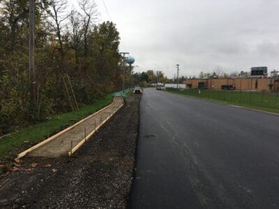
West Water Street Reconstruction
The Village of Baltimore, OH wanted to improve a 0.3-mile roadway alongside its local fire station and Liberty Union High School by providing …
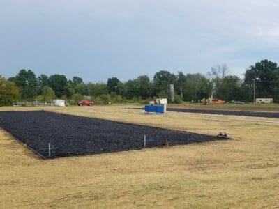
Danville Wastewater Treatment Facility
As the Village of Danville’s wastewater treatment facility approached 25 years old, the Ohio EPA imposed new discharge limits on the facility …
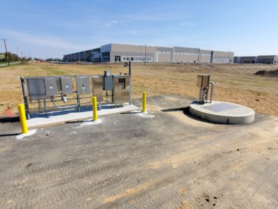
Rager Road Waterline, Sanitary Sewer & Lift Station
Our municipal services team in Columbus provided design and permitting for the Rager Road Waterline, Sanitary Sewer & Lift Station, a $1.4-million …
Leonard Park Drainage Improvement Study
With a recent increase in demand for buildable lots within the subdivision, the Franklin County Engineer’s Office hired our team to perform a flood …