Latter Day Saints Flood Risk Assessment Port Prince
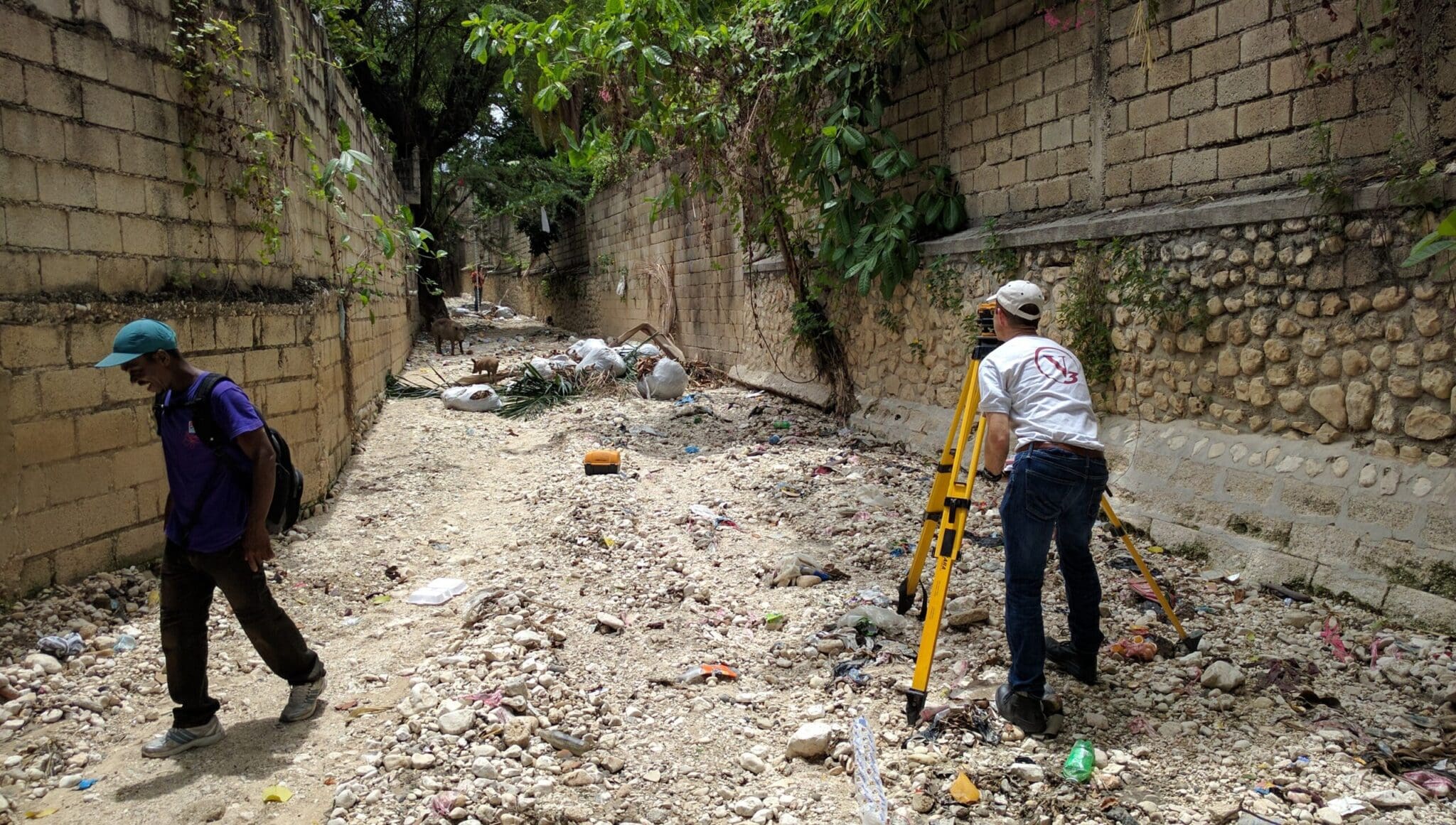
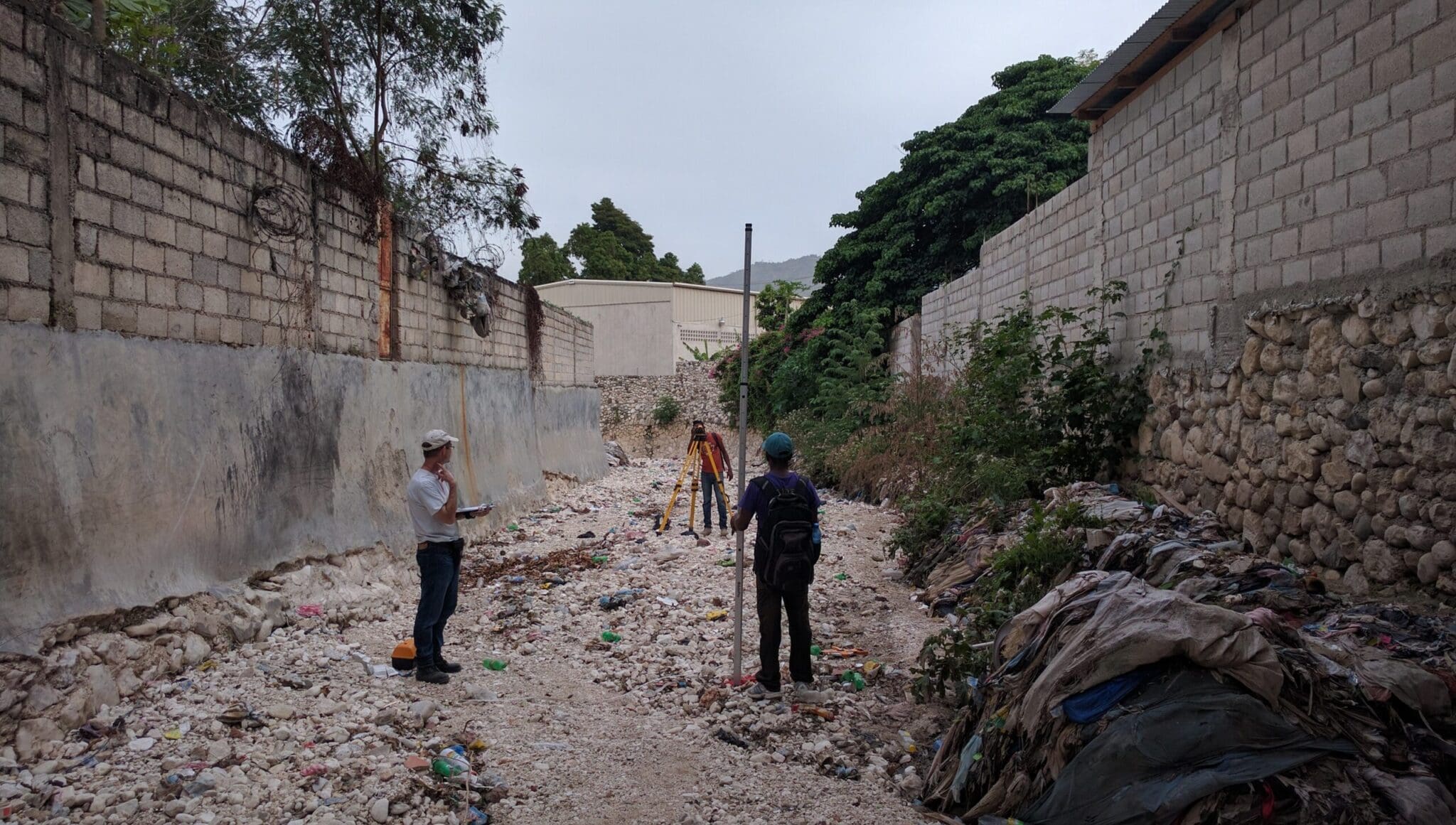
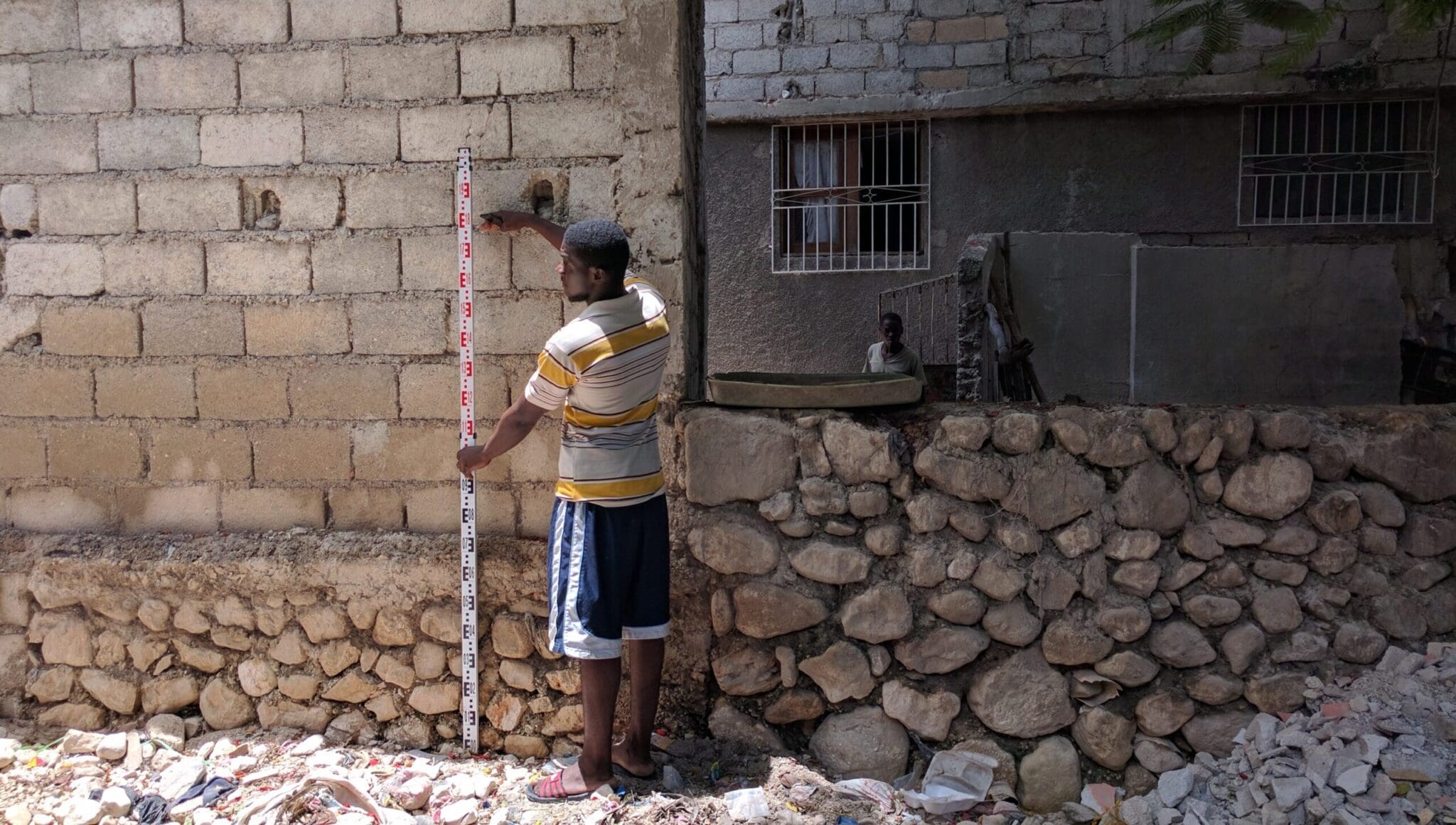
This project involved the development of hydraulic and hydrological models to estimate the potential for flood impacts on a property of the Church of Latter Day Saints. The Church was adjacent to a drainage corridor with a tributary drainage area of about 12.4 square kilometers, which generated significant amounts of stormwater runoff coming from high-intensity precipitation on the relatively steep terrain. A detailed site survey, hydraulic cross-section measurements, and a topographic survey of bridges along the adjacent drainage corridor were completed to provide required hydraulic data for the models. As a result of our services, the Church received expert recommendations for preventive measures to minimize potential flooding impacts on their property.
Owner
CRSA-US
Market Sector
International DevelopmentPrimary Service Lines
Resilient Water SolutionsRegion
ChicagoAdditional Info
Project Highlights:
- Flood levels for the drainage ravine were estimated for high magnitude storms with recurrence intervals of 50 and 100 years.
Related Projects
Bliss Road, Main Street & Fabyan Parkway Intersection Improvements
This award-winning project improved safety and relieved traffic congestion by creating an oval-shaped, single-lane roundabout.

Salt & Vinegar
Our team provided civil engineering and landscape architecture services for the redevelopment of an existing potato chip manufacturing facility near …

Crown Plaza Redevelopment
In order to breathe new life into the One Wells Fargo building and attract businesses and employees, the owner hired our team to revitalize its …
Five Mile High School Design Charrette
The County of Grande Prairie acquired a quarter section of land to accommodate the expansion needs of the local school districts.