
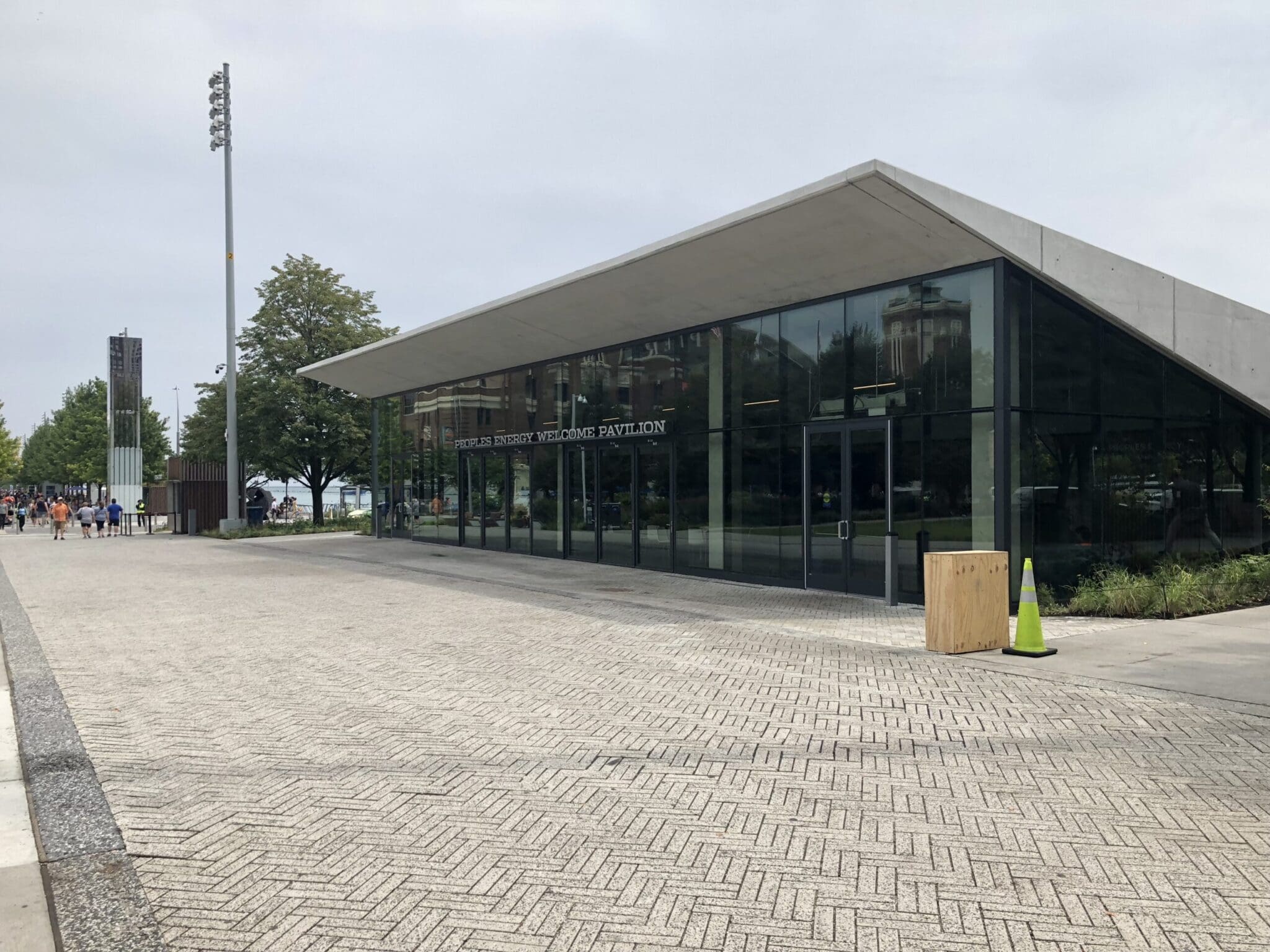
Navy Pier Gateway Park
Navy Pier is one of Chicago’s most popular tourist destinations, with retail, dining, and entertainment options woven throughout the 57-acre pier. For its 100th anniversary, the pier embarked on a comprehensive development plan that included expanded green space, more event accommodations, and a taller Ferris wheel. Our team helped kick off this ambitious plan with ALTA and topographic survey services. The scope included the use of a global positioning system, Total Stations, 3D scanners, and direct levels to establish horizontal and vertical control and for the collection of 3D locations of all improvements. This work led the way to an impressive centennial for a beloved landmark.
Additional Info
Project Highlights:
- The preparation of topographic studies and an ALTA survey covered all improvement locations, including (but not limited to) pavement, structures, utilities, and architectural elements.
Related Projects

Taylor Street Flood Forecasting V3FR
Frequent high-water conditions along the Chicago River placed ComEd’s TSS153 Taylor Street substation at ongoing risk, especially when elevated Lake …
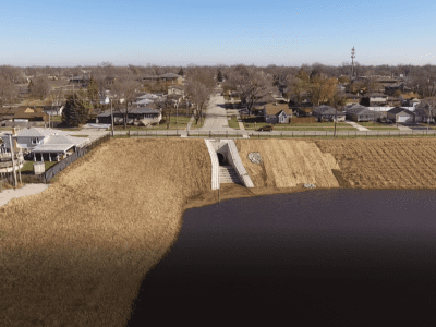
Melvina Ditch Reservoir Expansion
Our water engineering experts were selected by the MWRD of Greater Chicago to help reduce the area’s flooding risk by increasing the reservoir’s …

Lacey Creek Watershed Plan
Frequent flooding and aging drainage infrastructure in the Lacey Creek watershed created a need for a comprehensive plan to improve community safety …

Stormwater Master Plan for Roberts Road Drainage Area
Our team is providing engineering services to develop a comprehensive stormwater study and master plan for five interconnected sub‑watersheds, with …